Tuesday, July 29, 2014

MotionX-GPS Track: From Swamp Hole

Hello,

Ian Berger uses MotionX-GPS on the iPhone and is sharing with you the following track:

Nice paddle with some wind.

Name:From Swamp Hole
Date:Jul 29, 2014 10:09 am
Map:
(valid until Jan 25, 2015)
View on Map
Distance:7.40 miles
Elapsed Time:2:19:03
Avg Speed:3.2 mph
Max Speed:4.3 mph
Avg Pace:18' 47" per mile
Min Altitude:0 ft
Max Altitude:57 ft
Start Time:2014-07-29T14:09:15Z
Start Location: 
 Latitude:41º 12' 22" N
 Longitude:73º 53' 41" W
End Location: 
 Latitude:41º 12' 23" N
 Longitude:73º 53' 40" W


MotionX-GPS Commonly Asked Questions

  1. What is MotionX-GPS?
    MotionX-GPS is the essential GPS application for outdoor enthusiasts. It puts an easy-to-use, state-of-the-art handheld GPS on your iPhone.

  2. Can I use MotionX-GPS?
    Sure! MotionX-GPS can be downloaded from the iTunes App Store.

  3. How can I display tracks in Google Earth?
    Follow the directions on the Google Earth web site to download and install the Google Earth program. Save the attached "From Swamp Hole.kmz" file to your computer. Launch Google Earth, select File, Open, and open the saved "From Swamp Hole.kmz" file.

  4. This email was forwarded to me. Where are the attachments?
    Some e-mail programs do not include the original attachments by default when forwarding an e-mail. In this case, the sender must reattach the original files for them to be included.


Please contact MotionX customer support with any comments or questions.

All the best,

The MotionX Team

US and Foreign Patents Granted and Pending. Fullpower® is a registered trademark of Fullpower Technologies, Inc. MotionX™ is a trademark of Fullpower Technologies, Inc. © Copyright 2003 - 2012 Fullpower Technologies, Inc. All rights reserved.

ver: ; ref-id:

Friday, July 18, 2014

MotionX-GPS Track: Morning Stroll

Hello,

Ian Berger uses MotionX-GPS on the iPhone and is sharing with you the following track:

Pretty fast run to the bridge, maybe my best time on this board.

Name:Morning Stroll
Date:Jul 18, 2014 7:27 am
Map:
(valid until Jan 14, 2015)
View on Map
Distance:7.28 miles
Elapsed Time:1:49:11
Avg Speed:4.0 mph
Max Speed:5.6 mph
Avg Pace:14' 59" per mile
Min Altitude:0 ft
Max Altitude:30 ft
Start Time:2014-07-18T11:27:46Z
Start Location: 
 Latitude:41º 17' 07" N
 Longitude:73º 55' 56" W
End Location: 
 Latitude:41º 17' 07" N
 Longitude:73º 55' 55" W


MotionX-GPS Commonly Asked Questions

  1. What is MotionX-GPS?
    MotionX-GPS is the essential GPS application for outdoor enthusiasts. It puts an easy-to-use, state-of-the-art handheld GPS on your iPhone.

  2. Can I use MotionX-GPS?
    Sure! MotionX-GPS can be downloaded from the iTunes App Store.

  3. How can I display tracks in Google Earth?
    Follow the directions on the Google Earth web site to download and install the Google Earth program. Save the attached "Morning Stroll.kmz" file to your computer. Launch Google Earth, select File, Open, and open the saved "Morning Stroll.kmz" file.

  4. This email was forwarded to me. Where are the attachments?
    Some e-mail programs do not include the original attachments by default when forwarding an e-mail. In this case, the sender must reattach the original files for them to be included.


Please contact MotionX customer support with any comments or questions.

All the best,

The MotionX Team

US and Foreign Patents Granted and Pending. Fullpower® is a registered trademark of Fullpower Technologies, Inc. MotionX™ is a trademark of Fullpower Technologies, Inc. © Copyright 2003 - 2012 Fullpower Technologies, Inc. All rights reserved.

ver: ; ref-id:

Saturday, June 21, 2014

A Plethora of Trips

I've been remiss because of end-of-the-year stress. Wow, it really hits a person. You'd think it would be a pleasant, easy time, but between grading final exams and papers, getting in grade, last-minute housekeeping, both figurative and literal, it can be crazy. I have been paddling but not recording it. I'll sum up.

June 8: Went paddling with the Shmoo at Constitution Marsh in Cold Spring. He was on my pumpkin-colored kayak and I was on Big Red. I like paddling Big Red when I don't have to worry about going fast. It's easy to paddle and conforting that I don't have to worry about knocking it around. Gabriel really enjoyed the trip, and he's getting good control of the little boat. There were lots of large carp thrashing about in the clumps of water chestnuts. Often their fins or tails would break the surface with huge splashes.

June 14: I went SUP surfing at Long Beach (NYS) with a local MeetUp. I went with Tim, a prone surfer and Brian, a boy who hadn't surfed before. The waves were going about 3-4 feet and were a bit mushy. Time was on a 6'4" board, but was a bit smaller than me (about 150 lbs as opposed to my 200). I was on my NSP 11' with three fins.

He and I had a great time out in the water together, but the waves were a bit much for me. I've surfed 1–2 foot surf before but my board felt like a barge in the water with the waves. All the proners were on shortboards with a few longer boars, nothing as big as mine. I saw a few SUPers in the distance but we never crossed paths. We told Brian to practice bodysurfing, and since he was a strong pool swimmer, he did fine with that. The only problem was when a prober with serious attitude cursed him out when Brian “got in his way.” It takes a serious jerk to curse out a kid.

I was getting pretty knocked around. I got one terrific ride and a few okay ones, but the height of the waves combined with the shore break had me a bit spooked. I was fine mostly once I got beyond the breakers, but getting past them was work. I could really see how a smaller and lighter board would be good here, something about nine feet.

Tim and I traded once. He did okay and even stood up for a while, and he was surprised at how hard it was to maintain balance while bouncing on the waves. I borrowed his board and did nothing with it besides a few duck dives. It was so small it felt like a boogie board! How do people stand up on these potato chips? Brian took a surf lesson on a longboard and even got up a few times.

I did my “one more time session” shortly before we left. The waves were breaking a little further out because the tide was receding. As I got beyond the white, a big mother appeared right in front of me. It looked vertical and was about as tall as me. I figured I'd dive over it and just deal with a serious ankle drag as the wave took my board. As I porpoised over the wave, the wave somehow lifted my board and twisted it. I hit it with my thigh. That seriously hurt. I limped out of the water and back to my spot.

Today I'm sore as hell. I fell asleep at about 8 PM last night. I promised my friend to take him on his first paddle (Father's Day present to both of us), and I'm not going to cancel. It's going to be the only bright spot of my day, which will mostly be grading final exams. went SUP surfing yesterday at Long Beach (NYS) with a local MeetUp. I went with Tim, a prone surfer and Brian, a boy who hadn't surfed before. The waves were going about 3-4 feet and were a bit mushy. Time was on a 6'4" board, but was a bit smaller than me (about 150 lbs as opposed to my 200). I was on my NSP 11' with three fins.

He and I had a great time out in the water together, but the waves were a bit much for me. I've surfed 1–2 foot surf before but my board felt like a barge in the water with the waves. All the proners were on shortboards with a few longer boars, nothing as big as mine. I saw a few SUPers in the distance but we never crossed paths. We told Brian to practice bodysurfing, and since he was a strong pool swimmer, he did fine with that. The only problem was when a prober with serious attitude cursed him out when Brian “got in his way.” It takes a serious jerk to curse out a kid.

I was getting pretty knocked around. I got one terrific ride and a few okay ones, but the height of the waves combined with the shore break had me a bit spooked. I was fine mostly once I got beyond the breakers, but getting past them was work. I could really see how a smaller and lighter board would be good here, something about nine feet.

Tim and I traded once. He did okay and even stood up for a while, and he was surprised at how hard it was to maintain balance while bouncing on the waves. I borrowed his board and did nothing with it besides a few duck dives. It was so small it felt like a boogie board! How do people stand up on these potato chips? Brian took a surf lesson on a longboard and even got up a few times.

I did my “one more time session” shortly before we left. The waves were breaking a little further out because the tide was receding. As I got beyond the white, a big mother appeared right in front of me. It looked vertical and was about as tall as me. I figured I'd dive over it and just deal with a serious ankle drag as the wave took my board. As I porpoised over the wave, the wave somehow lifted my board and twisted it. I hit it with my thigh. That seriously hurt. I limped out of the water and back to my spot.

Today I'm sore as hell. I fell asleep at about 8 PM last night. I promised my friend to take him on his first paddle (Father's Day present to both of us), and I'm not going to cancel. It's going to be the only bright spot of my day, which will mostly be grading final exams.

June 15: I took my friend Greg on a paddle up the Croton a River. He'd never paddled before but did a remarkable job for his first time on a board. It helps that he was on Big Red, but still. I wish I had been that skilled my first time out. We had a really fun time, especially climbing around the rocks at the upper point where you can paddle.

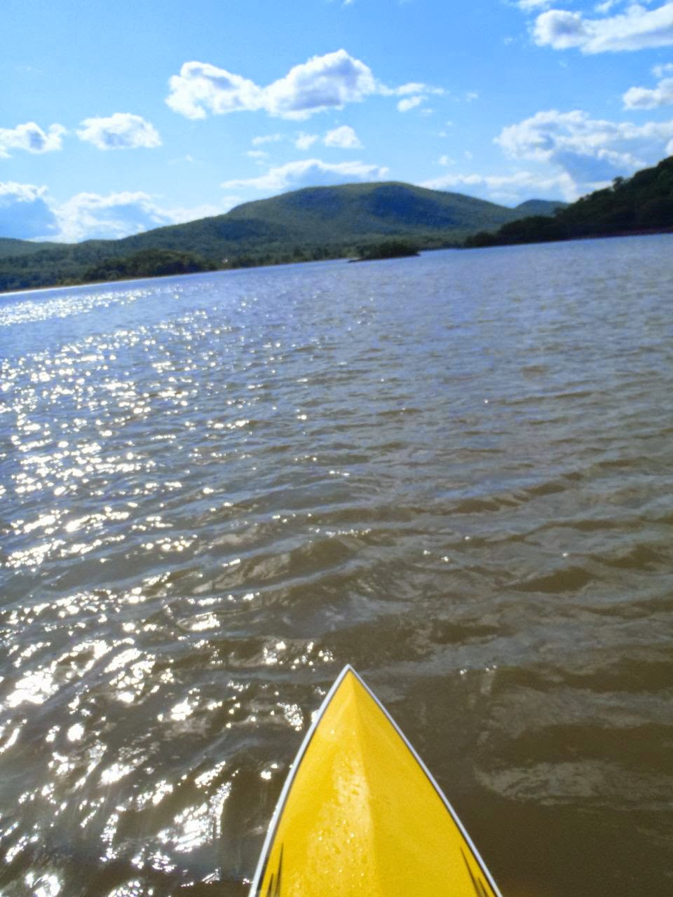
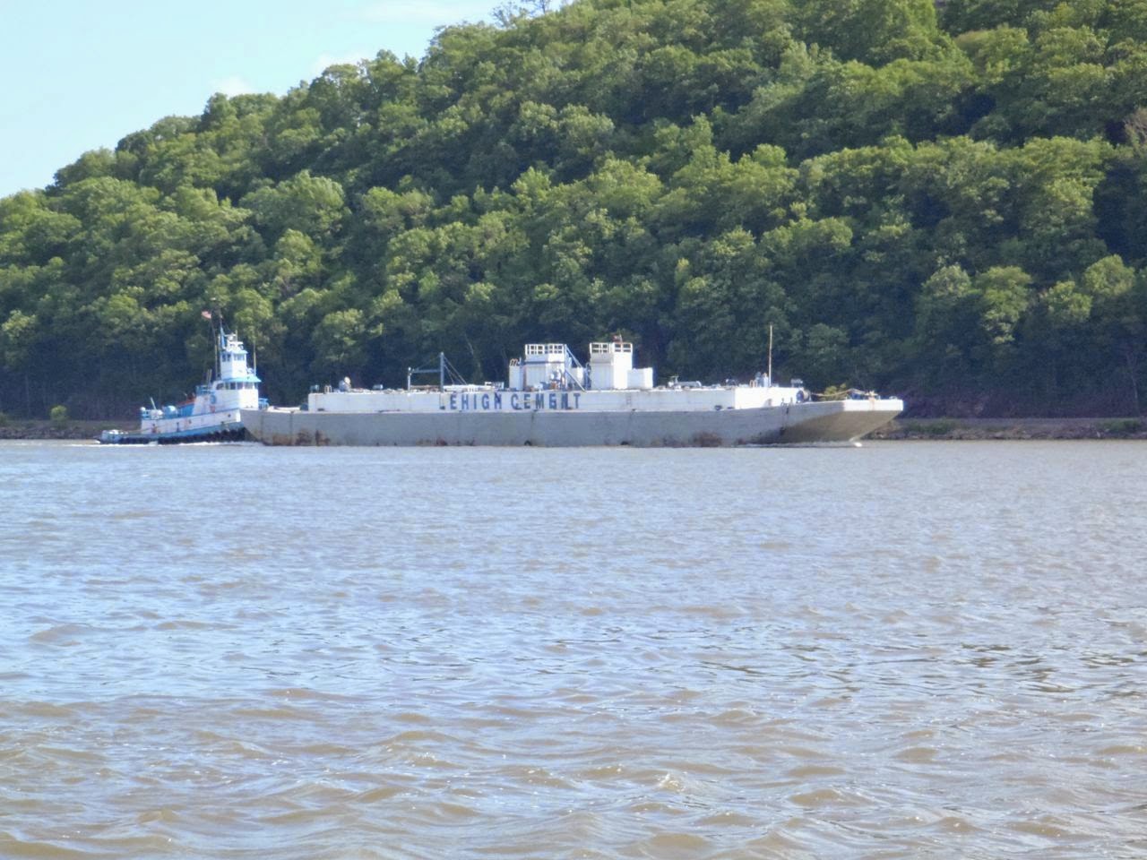
June 21: which is today. I did four miles off Peekskill Bay, a little up river and then down. It was a leasurely paddle. I'm not really in the mood to go crazy. As long as I'm on the water, I'm happy.

I saw a hawk or osprey on my way in. It was flying around the channel marker right outside of the Peekskill Yacht Club.

Sunday, June 8, 2014

Did A Picture Tour

Last week I did a picture tour of Peekskill Bay. Unfortunately I forgot the special cable to attach the camera to a computer at school, and it took a few days for me to remember it.

So, enjoy.


Saturday, June 7, 2014

Great Evening Run

I decided to do an after-dinner paddle this evening. What a good run. I think this is the fastest time I've posted. Of course, it's also the first time I've gotten something close to real flat water conditions on the river. I launched from Swamp Hole on Croton, which is it's windsurfing name. Most people call it Croton Landing.

This was my first paddle from Swamp Hole since I wrecked my board last summer. I was a little nervous, but everything was fine. I paddled all the way up to Verplank, which was pretty and saw the sun set.


Great time this evening

Name:Evening Flatwater Run
Date:Jun 7, 2014 7:17 pm
Map: 
(valid until Dec 4, 2014)
View on Map
Distance:6.01 miles
Elapsed Time:1:25:43
Avg Speed:4.2 mph
Max Speed:5.1 mph
Avg Pace:14' 15" per mile
Min Altitude:0 ft
Max Altitude:0 ft
Start Time:2014-06-07T23:17:55Z
Start Location: 
 Latitude:41º 12' 23" N
 Longitude:73º 53' 41" W
End Location: 
 Latitude:41º 12' 23" N
 Longitude:73º 53' 41" W